 Plan of the bunker An annotated version of this map appears on the map section of the actual tour.
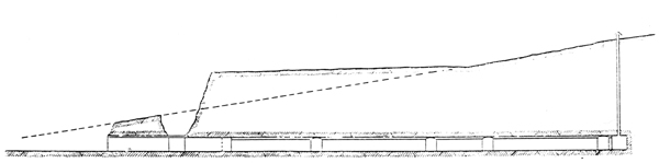 Section of the bunker
Return to: The Brighton Road Shelter (Cane Hill Bunker) |
|
Plan of the bunker An annotated version of this map appears on the map section of the actual tour.
Section of the bunker
Return to: The Brighton Road Shelter (Cane Hill Bunker) |