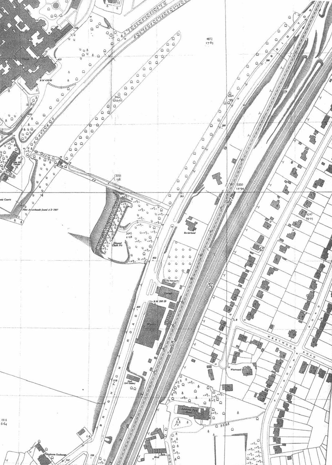
 A thumbnail of the plan - click on it for the full image This map shows the general location of the bunker, with the administration block and front wards of Cane Hill Hospital top left, the A23 travelling vertically from bottom centre to top right and the railway line running parallel. The road to the tunnels is still shown, although it used to be a semi-circle as featured in this film. A path is shown running alongside the tunnels to the hospital - it isn’t known if this can be navigated.
|